الشركاء › Ecole nationale des sciences géographiques (ENSG)


About University

IGN is the French national mapping agency. Also in charge of the French Forest inventory, IGN gathers roughly 1600 persons. IGN is more and more involved in monitoring activities for sustainable development. IGN has an engineering school: ENSG, with a research center of 5 laboratories and about 70 researchers. ENSG is a 75-year-old school, experienced in training in all geographic sciences (from geodesy to geo-web processing). ENSG counts more than 420 students in 12 cycles. Levels of diplomas range from senior technician and professional license to engineer, masters, and specialized masters. (Mastères Spécialisés®). ENSG operates live long learning and distance learning departments too.


Role in the project

ENSG will be involved in the following:

  • Designing et updating the web site of the EME project.
  • Participation in all meetings including steering committee meeting
  • Participation to the ToT sessions
  • Participation in dissemination/exploitation events.


Project Members


ZUHAIR ALTAMIMI

  • Zuhair Altamimi

Zuheir Altamimi is a Research Director at the Institut National de l’Information Géographique et Forestière (IGN), France. His principal research focuses are space geodesy, theory and realization of terrestrial reference systems. He is head of the terrestrial reference systems research group at the Laboratoire de Recherche en Géodésie (LAREG) of the IGN. He is member of the International Earth Rotation and Reference Systems Service (IERS) Directing Board and of the Governing Board of the International GNSS Service (IGS). His honors include Prix de Cartographie (1996); Chevalier (2006), Officier (2014) in the « Ordre des Palmes Académiques », Prix Antoine d’Abbadie (2011) of the French Academy of Sciences and Vening Meinesz Medal of the European Geosciences Union(2013). He is Vice-President of the International Association of Geodesy. He received his Ph.D. in space geodesy from Paris Observatory and his habilitation (2nd doctorate) from Paris University VI.
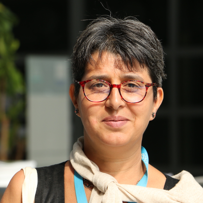

  • Zuhair Altamimi

Selected 5 Peer-Reviewed Publications:

  • Altamimi, Z., L.Métivier, P. Rebischung, H. Rouby, and X. Collilieux, 2017: ITRF2014 plate motion model, Geophysical Journal International, Volume 209, Issue 3, 1 June 2017, Pages 1906-1912, https://doi.org/10.1093/gji/ggx136.

  • Altamimi, Z., P. Rebischung, L. Métivier and X. Collilieux, 2016: ITRF2014: A new release of the International Terrestrial Reference Frame modeling nonlinear station motions, Journal of Geophysical Research: Solid Earth, doi:10.1002/2016JB013098

  • Altamimi Z, Collilieux X, Métivier L, 2011, ITRF2008: an improved solution of the International Terrestrial Reference Frame, Journal of Geodesy, doi:10.1007/s00190-011-0444-4.

  • Altamimi Z, Collilieux X, Legrand J, Garayt B, Boucher C, 2007: ITRF2005: A new release of the International Terrestrial Reference Frame based on time series of station positions and Earth Orientation Parameters. J Geophys Res, doi: 10.1029/2007JB004949.

  • Altamimi, Z., P. Sillard, and C. Boucher, 2002: ITRF2000: A New Release of the International Terrestrial Reference Frame for Earth Science Applications, J. Geophys. Res., 107(B10), 2214, doi:10.1029/2001JB000561.


EMMANUEL FRITSCH

  • Emmanuel Fritsch

Emmanuel Fritsch, PhD is the chief of ENSG – GIS and Spatial Information department. Emmanuel Fritsch, a former student of Ecole Polytechnique de Paris is Ingénieur en Chef des Ponts des Eaux et Forêts.

  • Emmanuel Fritsch
  • Plazanet, C., J.-G. Affholder and E. Fritsch (1995) The importance of geometric modeling in linear feature generalization, Cartography and Geographic Information Systems, vol. 22, n. 4, pp. 291--305, doi:http://www.tandfonline.com/doi/abs/10.1559/1523040957825 40276

  • Fritsch, E. (1999) Road Selection for Generalisation based on a Traffic Modeling, Proceedings of GeoComp'99

  • Fritsch, E. and S. Lamy (1999) Algorithmes de Généralisation basés sur le Lissage de la Courbure, 19th International Cartographic Conference (ICC'99), 14-21 August, Ottawa (Canada)


JEAN-FRANÇOIS HANGOUËT

  • Jean-François Hangouët

Jean-François Hangouët, PhD, divisional survey engineer from the French National Mapping Agency (IGN-F), is currently positioned as head of the geo- imagery department at ENSG. His fields of expertise include cartographical and architectural photogrammetry, map generalization, quality of geographic data, computational geometry. Dr. J.-F. Hangouët, aged 48, also has professional experience in Quality Management Systems. He was involved in the delineation of several maritime boundaries and shows interest for the cross-cultural fundamentals of spatial positioning and cartography. His scientific publications and lectures are characterized by the place given to epistemological elicitation and questioning, such concerns being, he argues, indispensable to the faithful rendering and transmission of knowledge.

  • Jean-François Hangouët

Selected publications:

  • Jean-François Hangouët, « A Representation-Driven Ontology for Spatial Data Quality Elements, With Orthoimagery as Running Example », (ISSDQ 2015), ISPRS Annals of the Photogrammetry Remote Sensing and Spatial Information Sciences, II-3/W5, 173-178,doi:10.5194/isprsannals-II-3-W5-173-2015, 2015.

  • Jean-François Hangouët, Jean-Philippe Cantou, Michel Pausader, « L’orthomosaïque àl’échelle départementale : les performances de l’imagerie Pléiades comparées au produit BDORTHO® », Revue Française de Photogrammmétrie et de Télédétection, n°208, novembre 2014, pp. 27-32

  • Jean-François Hangouët, « Australian Aboriginal Art: A Visit With Voronoï », in Voronoï’s Impact On Modern Science, Book 4, Volume 2, Proceedings of the 5th International Symposium on VoronoïDiagrams in Science and Engineering (ISVD-2008), Drahomanov National Pedagogical University, September 22-28, 2008, Kyiv, Ukraine, p. 243–255

  • Jean-François Hangouët, « Quality, and Poem alike », in Fundamentals of Spatial Data Quality, Rodolphe Devillers & Robert Jeansoulin, London, ISTE, 2006, p. 301–303

  • Jean-François Hangouët, Gérard Cosquer: « Delimitación de límites fronterizos marítimos y terrestres: Bases Geodésicas y Geométricas », Topografia y Cartografia, Vol. XXI, n°126, Enero-Febrero 2005, p.3–15


NICOLAS PAPARODITIS

  • Nicolas Paparoditis

Nicolas Paparoditis is director of IGN learning and research. He is director of ENSG. Nicolas Paparoditis holds a doctorate in engineering sciences from the University of Nice-Sophia-Antipolis in 1998, holds an HDR from Paris- Descartes University and has been director of sustainable development research since 2007. Initially a research and engineering engineer at Aerospatiale from 1992 to 1997, he then worked as a lecturer and lecturer at CNGH (Graduate School of Surveyors and Topographers) from 1997 to 2002. He is responsible for a research team on 3D digitization in the Matis laboratory of the IGN from 2002 to 2009, a laboratory he runs from 2009 to 2014. He is later scientific director of the IGN, in Science Policy and Research Program Development, from 2014 to 2016. Nicolas Paparoditis is a specialist in remote sensing, photogrammetry, and 3D computer vision applied to the collection of geographic information and more specifically to the digitization and 3D modeling of cities and territories.
Paroditis is the congress director of the XXIVth ISPRS Congress in Nice, France 28th June - 04th July 2020.

  • Nicolas Paparoditis

Some of his selected publications are:

  • Le_Bris, N. Chehata, X. Briottet, N. Paparoditis. Hierarchically exploring the width of spectral bands for urban material classification. JURSE 2017, Dubai, UAE, March 2017.

  • M. Mezian, B. Vallet, B. Soheilian, N. Paparoditis. Uncertainty propagation for terrestrial mobile laser scanner. International Archives of Photogrammetry, Remote Sensing and Spatial Information Sciences, vol. 41 (B3), pp 331-335, ISPRS Congress, Prague, Juillet 2016.

  • W. Xiao, B. Vallet, K. Schindler, N. Paparoditis. Simultaneous detection and tracking of pedestrian from panoramic laser scanning data. ISPRS Annals of the Photogrammetry, Remote Sensing and Spatial Information Sciences, vol. 3 (3), pp 295--302, ISPRS Congress, Prague, July 2016.

  • Le_Bris, N. Chehata, X. Briottet, N. Paparoditis. Spectral band selection for urban material classification using hyperspectral libraries. ISPRS Annals of Photogrammetry, Remote Sensing and Spatial Information Sciences, vol. 3 (7), pp. 33-40, ISPRS Congress, Prague, Juillet 2016.

  • X. Qu, B. Soheilian, E. Habets, N. Paparoditis. Evaluation of SIFT and
    SURF for vision based localization. International Archives of Photogrammetry, Remote Sensing and Spatial Information Sciences, vol. 41 (B3), pp 685-692, ISPRS Congress, Prague, 2016.

  • Q.-D. Nguyen, M. Brédif, D. Richard, N. Paparoditis. Progressive streaming and massive rendering of 3D city models on web-based virtual globe. 24th ACM SIGSPATIAL International Conference on Advances in Geographic Information Systems (ACM SIGSPATIAL 2016), San Francisco Bay Area, California, USA, November 2016.


PASCAL BARBIER

  • Pascal Barbier

Pascal Barbier, divisional survey engineer from the French National Mapping Agency (IGN-F), is currently director of industrial partnerships and digital environment of ENSG. He is secretary of the French Digital University for engineers UNIT. He has designed and directed the distance learning department of ENSG from 2005 to 2017. Chevalier (1999), Officier (2003) and Commandeur (2016) in the « Ordre des Palmes Académiques ».


Malika Grim-Yefsah - Ecole nationale des sciences géographiques (ENSG)

MALIKA GRIM-YEFSAH

  • Malika Grim-Yefsah

Malika Grim-Yefsah has a PhD in Computer Science. Currently, she is an Associate Professor at the Department of Information Systems and technologies, ENSG

  • Malika Grim-Yefsah


MORE

Website: www.ensg.eu